
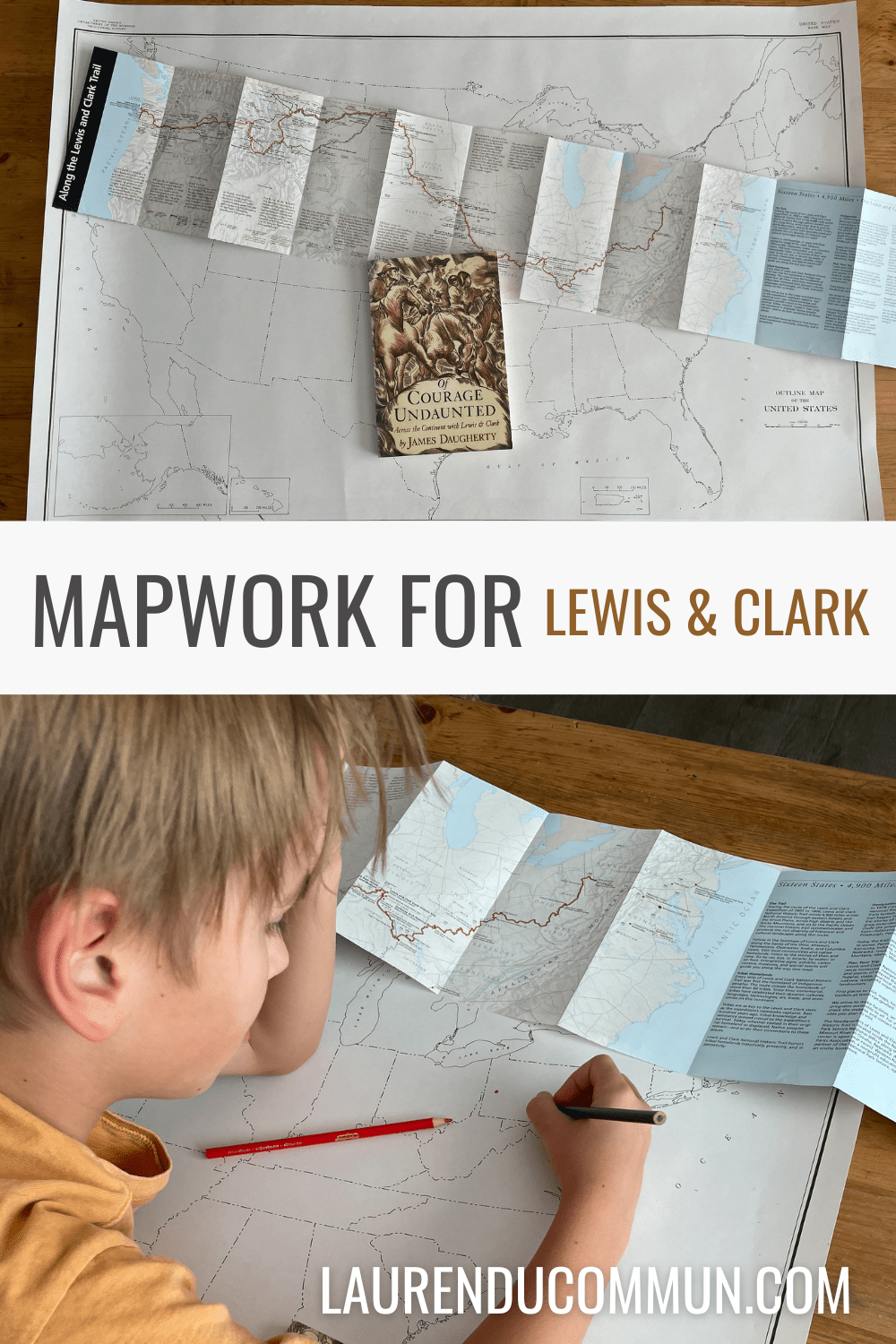
This year we are studying early American history with AmblesideOnline. The biography for this term covers Lewis and Clark’s journey across the North American continent. While we read we are supposed to do mapwork to become familiar with the geographical locations. One great way to do that is coloring on a map!
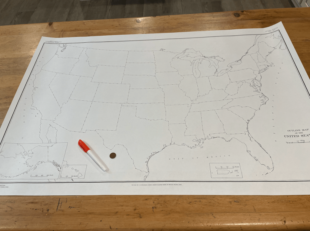
I found two helpful maps, one which shows the route that Lewis and Clark took from Pittsburg to the Pacific coast. The other is a large blank outline map of the United States of America — which only cost $5.00 plus shipping!
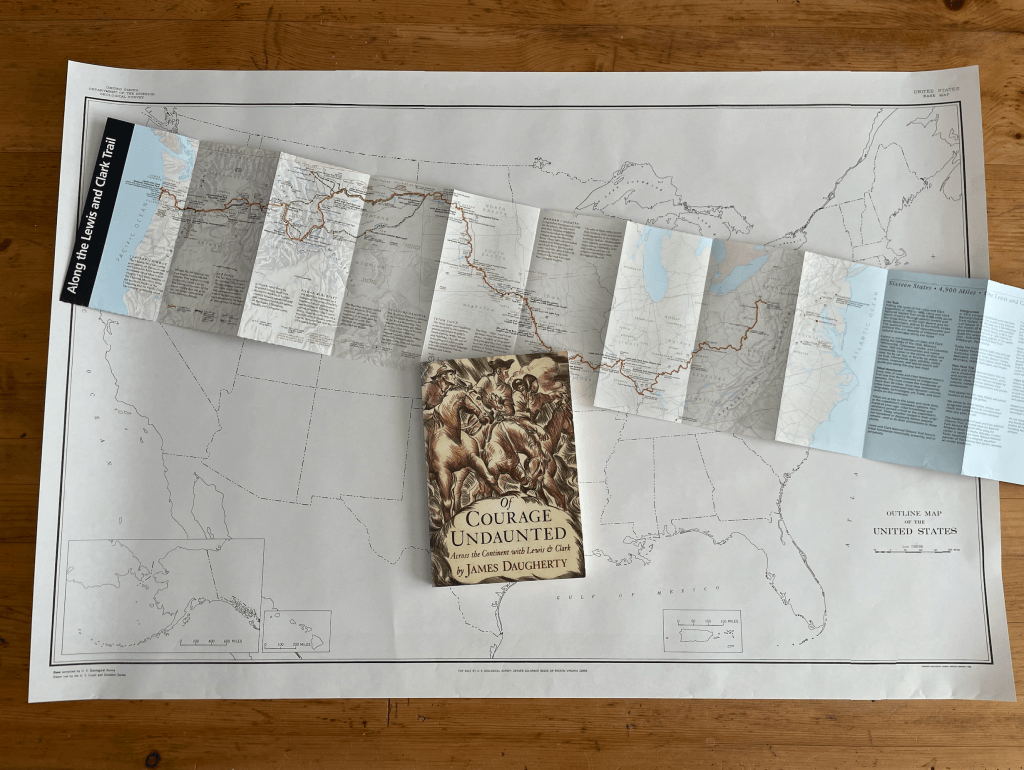
Map of Lewis & Clark Trail
You can get an amazing FREE map from the National Park Service of the Lewis & Clark National Historic Trail. It folds into a brochure for easy storing away, but contains so much helpful information.
When I unfolded it, we were pleasantly surprised that it was almost the exact same size as our United States map! So finding locations will be a breeze!
You will need to email the park and provide your mailing address, and they will mail the map right to you. You can find their information at the bottom of this page.
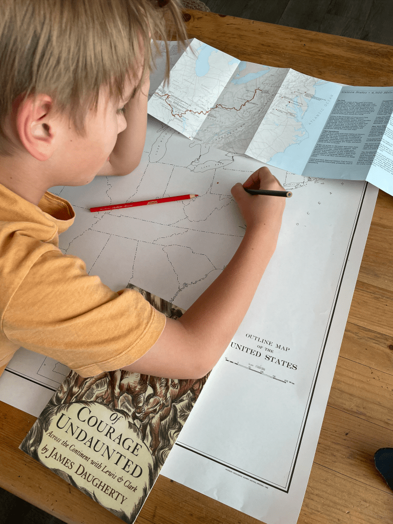
Outline Map of the United States
I found this amazing map of the United States through the USGS website when I was ordering our National Park pass. I was able to add it to our order, and it was only $5.00!
You can find that map on their website here. It is a thin paper, but easy to roll up and put away, or hang on the wall.
If you don’t need a large paper version, you can download a PDF version from their website for free! Such a great resource for homeschoolers!


Leave a comment